Back Pointe La Rue Catalan Pointe La Rue German Pointe La Rue English Distrito de Pointe La Rue Spanish Pointe La Rue French Pointe La Rue ID Pointe La Rue Italian ポワント・ラ・リュ Japanese პუანტ-ლა-რუ Georgian 푸앵트라루구 Korean
Paghimo ni bot Lsjbot. |
| Pointe Larue | |
| Pointe La Rue | |
| Distrito | |
| Nasod | |
|---|---|
| Tiganos | 4°40′00″S 55°31′00″E / 4.66667°S 55.51667°E |
| Area | 4.00 km2 (2 sq mi) |
| Population | 2,775 (2012-01-16) [1] |
| Density | 694 / km2 (1,797 / sq mi) |
| Timezone | MUT (UTC+4) |
| ISO 3166-2 code | SC-20- |
| GeoNames | 241221 |
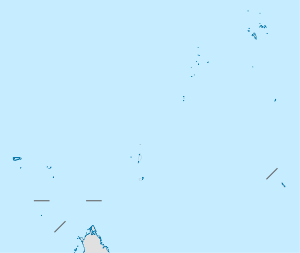
Distrito ang Pointe Larue sa Seychelles.[1] Nahimutang ni sa amihanan-sidlakang bahin sa nasod, 9 km sa habagatan-sidlakan sa Victoria ang ulohan sa nasod. Adunay 2,775 ka molupyo.[1] Naglangkob kin og 4.0 ka kilometro kwadrado.
Ang yuta sa Pointe Larue lain-lain.[saysay 1]
- ↑ 1.0 1.1 1.2 Cite error: Invalid
<ref>tag; no text was provided for refs namedgn241221 - ↑ Cite error: Invalid
<ref>tag; no text was provided for refs namedvp
Cite error: <ref> tags exist for a group named "saysay", but no corresponding <references group="saysay"/> tag was found
